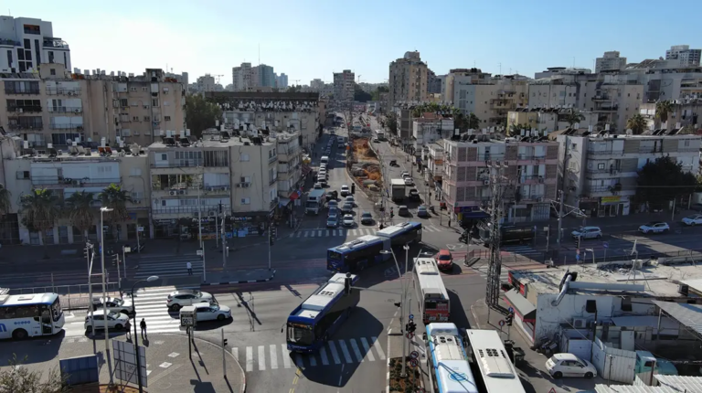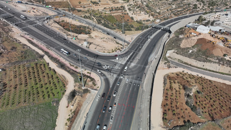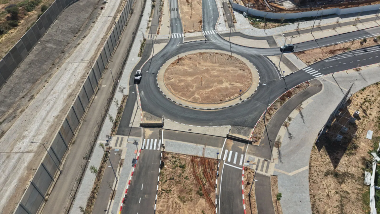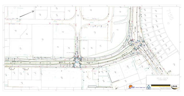

M.T.N. carried out comprehensive traffic planning within the framework of Plan 3700 in north-west Tel Aviv.
Plan 3700 is one of the most significant and complex development plans in the city of Tel Aviv, and constitutes a wide-ranging planning programme to establish a new urban quarter along the northern coastal strip. It covers an extensive area between Namir Road and the sea, and between the built-up city and its northern boundary, which forms a central land reserve for future urban development.
The plan includes an intensive mix of uses — housing, employment, commerce, hotels, public buildings and open spaces. Accordingly, comprehensive traffic planning was required to create a multi-modal accessibility system that integrates optimally with the existing urban network and supports the functioning of an entire urban quarter over time.
The complexity of the planning stems from a combination of key factors: large development volumes, multiple uses, proximity to the coastal strip and the cliff, the need to preserve open spaces, and coordination between new infrastructure and existing systems. All of these require traffic planning at a systems level, focused not on point solutions but on an overall definition of the structure of traffic across the area.
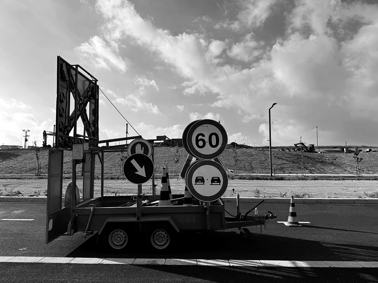
Within this framework M.T.N. carried out comprehensive traffic planning at various planning levels, from the urban outline-plan design, through local outline plans, to detailed design including temporary traffic arrangements for the project’s various construction stages. The planning included defining the future road network and traffic hierarchy, alongside the integration of advanced transport systems — first and foremost the light rail corridor along Ibn Gabirol Street, which forms a central transport spine connecting the quarter to the metropolitan network.
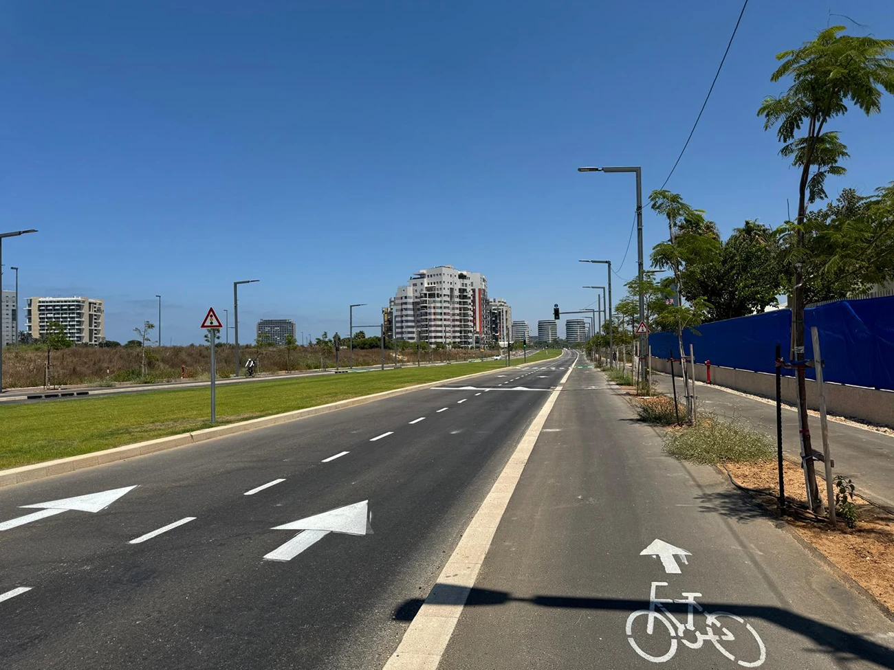
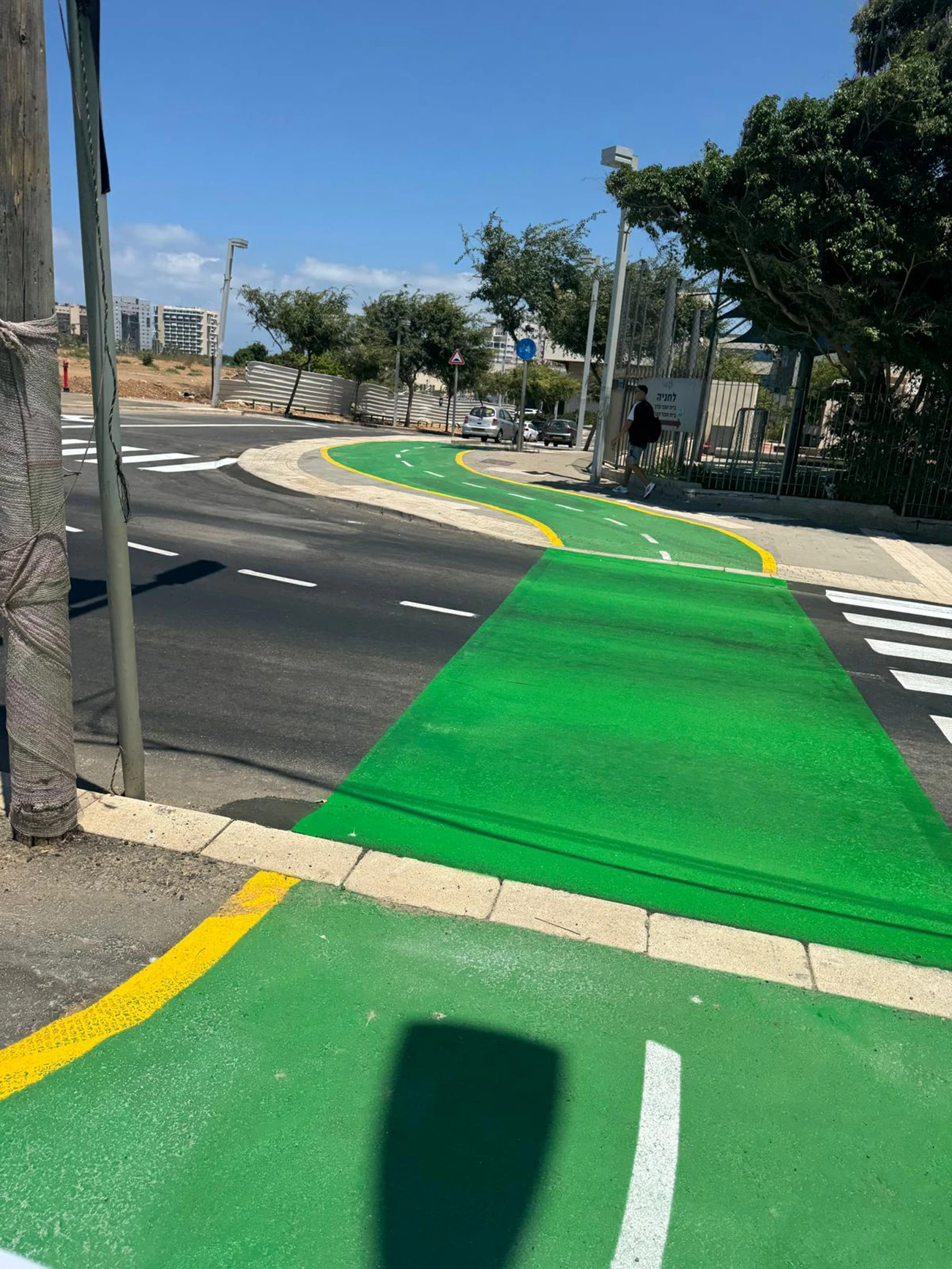
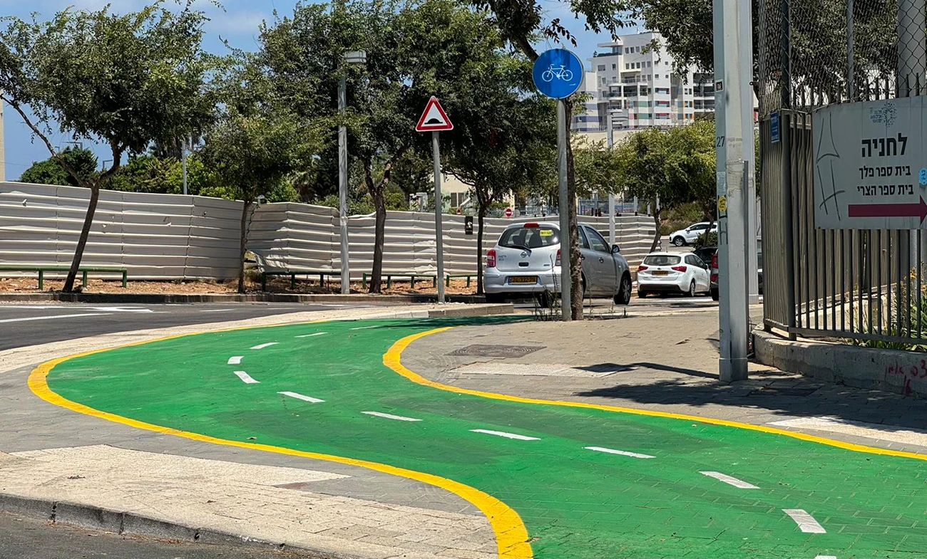
In addition, a continuous, high-quality network of cycling paths was incorporated into the plan, integrating with the citywide network and encouraging sustainable mobility within the quarter and between it and adjacent areas. The planning also placed emphasis on pedestrian movement, on creating active and accessible urban streets, and on reducing dependence on private cars.
Another significant element of the planning was the coastal park, in which a continuous cycling path was designed along the shore, forming part of a regional corridor connecting Herzliya in the north with the existing cycling path network in the Tel Baruch Beach and Tel Aviv Port area to the south. This corridor creates high-quality continuity of movement along the coastline while integrating optimally with the landscape and environmental values.
The scale and character of the project required a long-term perspective, in which every planning decision affected the overall functioning of the quarter — in terms of accessibility, the quality of the urban space and sustainability.